Credits
Photo credits
None of these photographs were taken by MNIRL. They are other people's work, used under the licenses listed. We resized each one for the web and did not otherwise change it.
Photos marked "Shows the named place" come with a source page saying where they were taken. They do not show that we went there, and they may be years old. "Illustrative" photos set a mood and are not a record of anything in the story. This list is part of the draft and is awaiting human review.
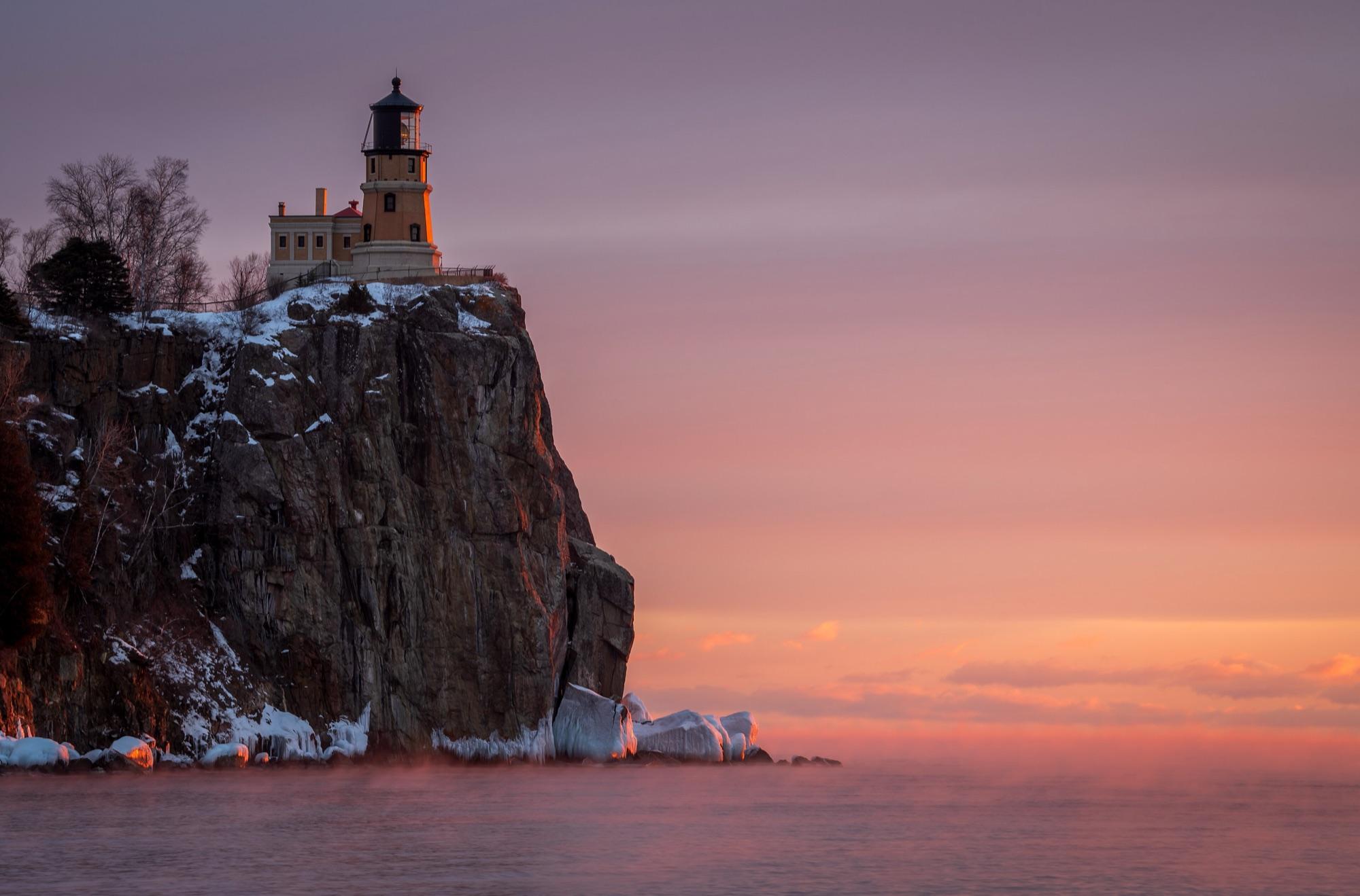
MichaelDPhotos
Split Rock Lighthouse on a January morning, per the photographer's description.
Shows the named place · Fetched
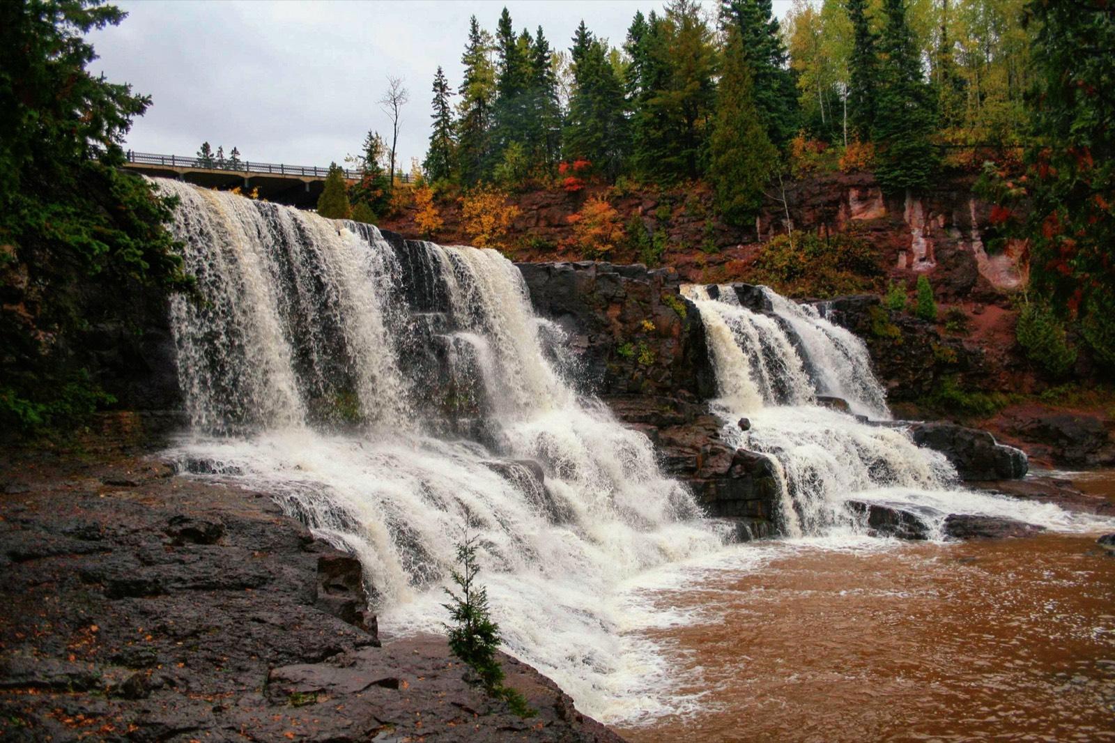
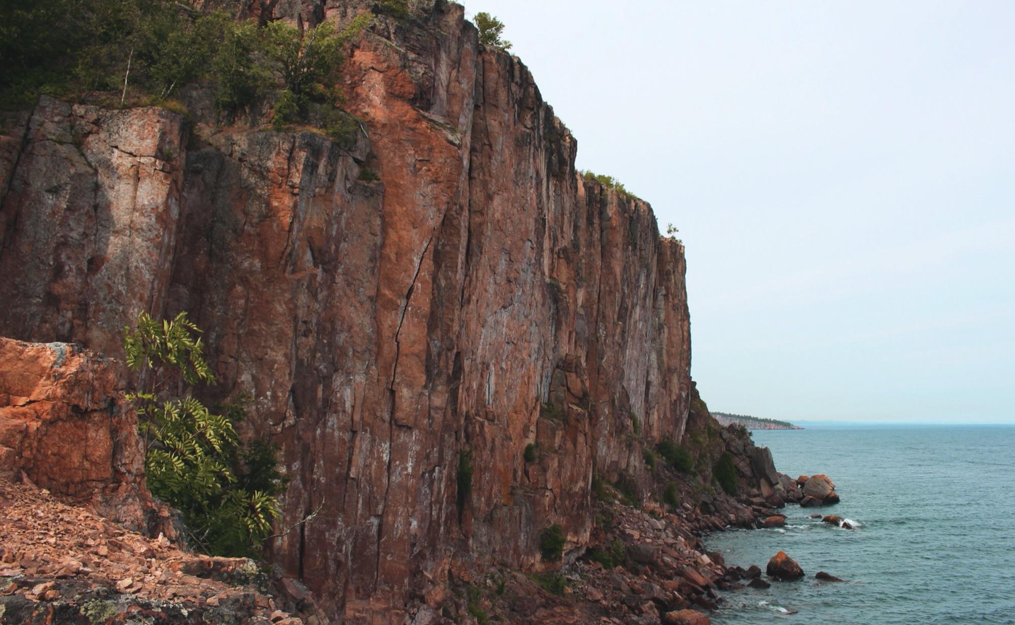
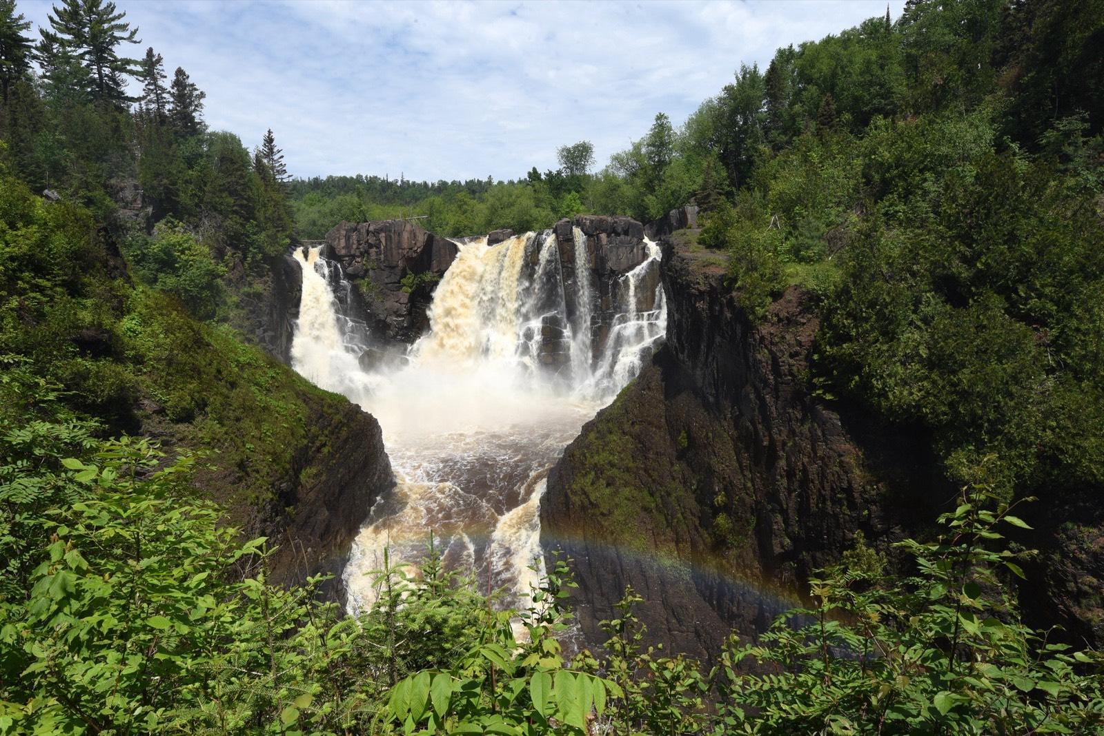
Courtney Celley, U.S. Fish and Wildlife Service
High Falls on the Pigeon River, Grand Portage State Park.
Public domain (U.S. federal government work) · Source page
Shows the named place · Fetched
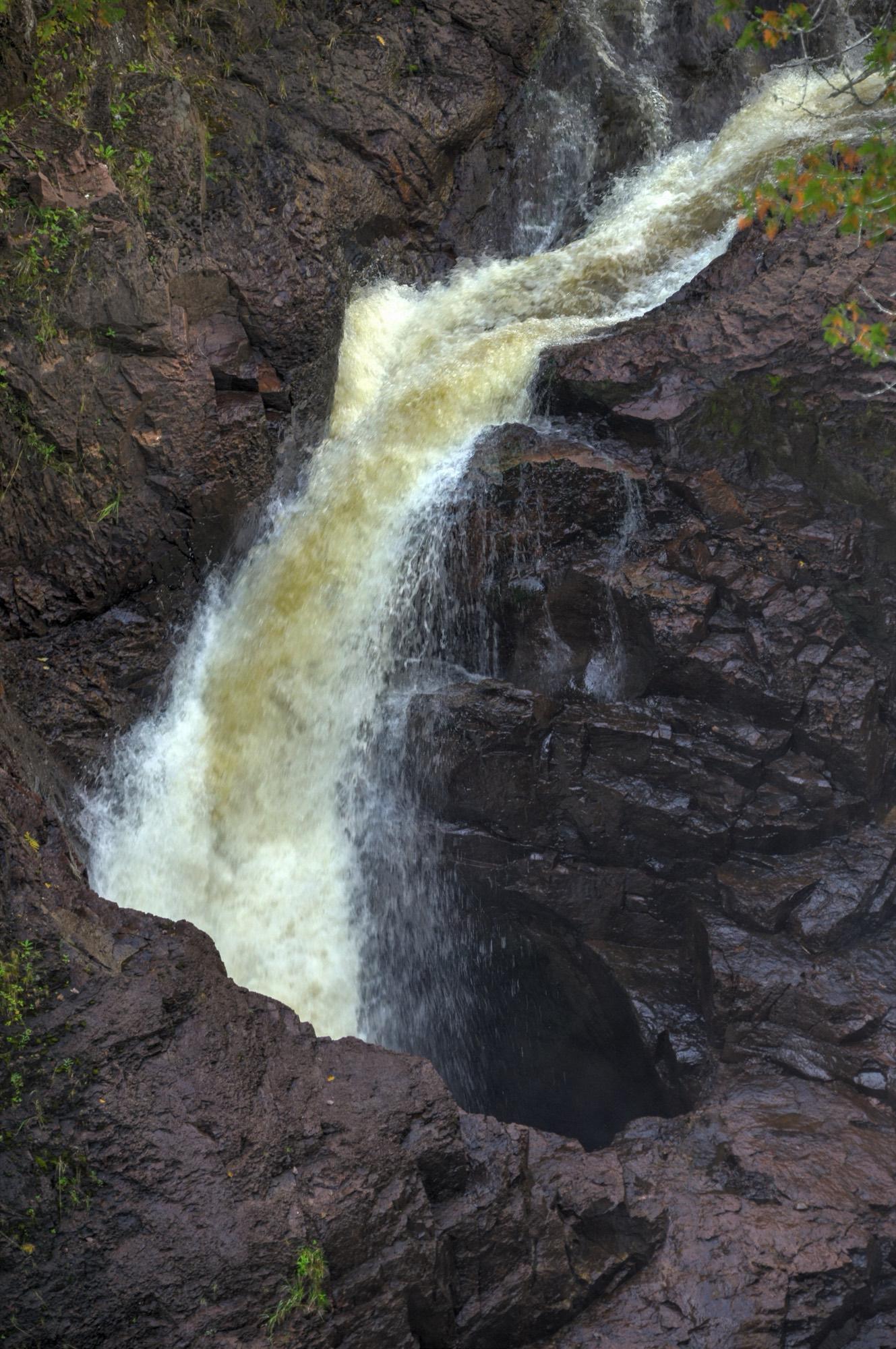
August Schwerdfeger
The Devil's Kettle on the Brule River, September 2015.
Shows the named place · Fetched
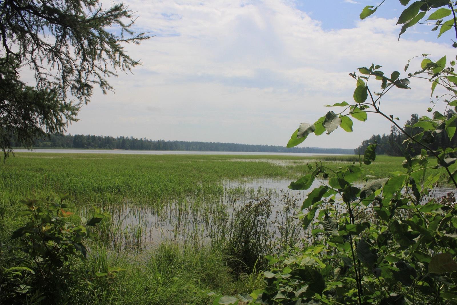
Sheltoneasley
Lake Itasca from the Mississippi Headwaters, July 2017.
Shows the named place · Fetched
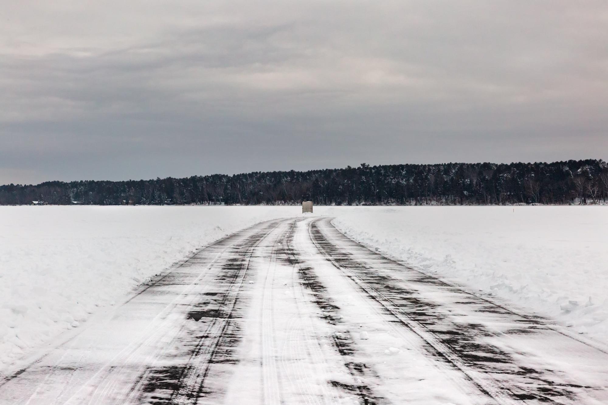
Lorie Shaull
An ice road and fishing house on Fishhook Lake, Park Rapids, December 2018. Not evidence that any ice was or is safe.
Shows the named place · Fetched
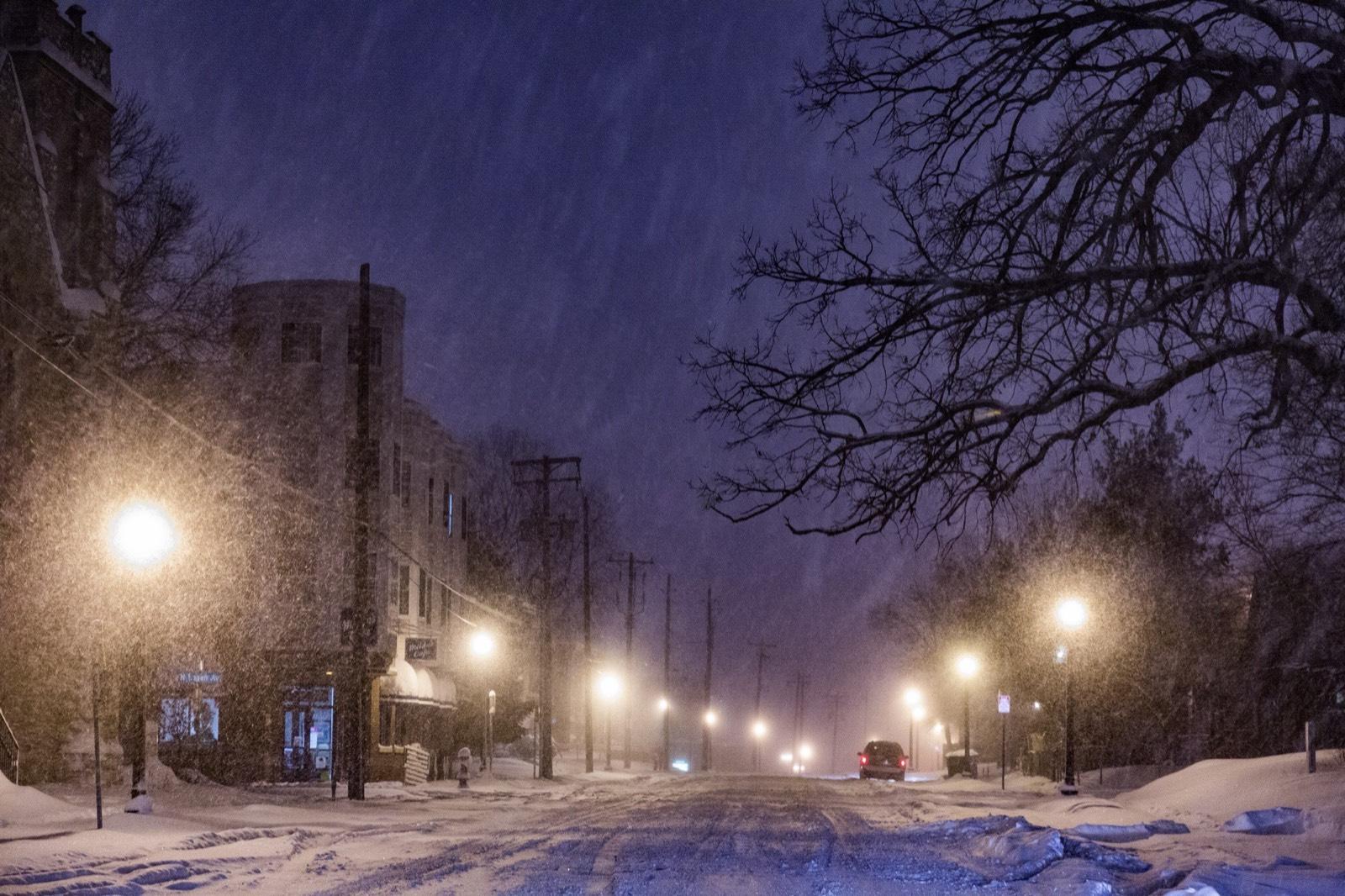
Tony Webster
Glenwood Avenue North in Minneapolis during a February 2016 snowstorm.
Shows the named place · Fetched
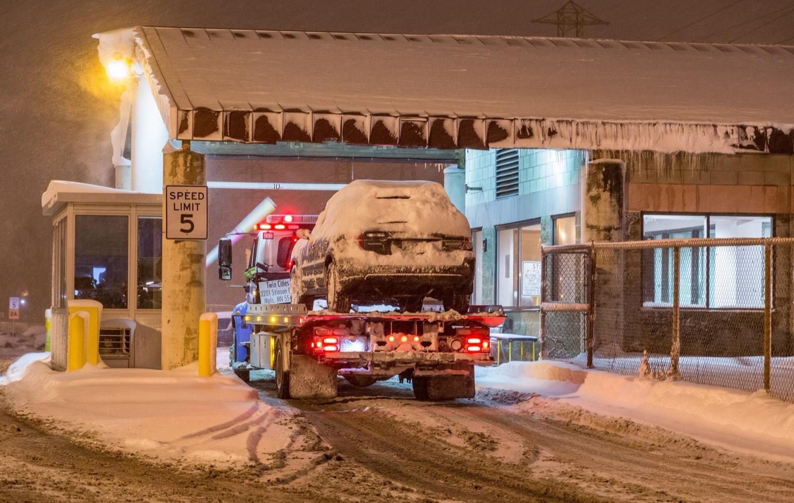
Tony Webster
A tow arriving at the Minneapolis impound lot during a February 2016 snow emergency.
Shows the named place · Fetched
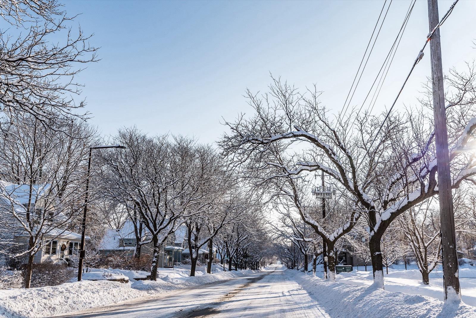
Tony Webster
Burns Avenue near Earl Street in Saint Paul after snow, February 2018.
Shows the named place · Fetched
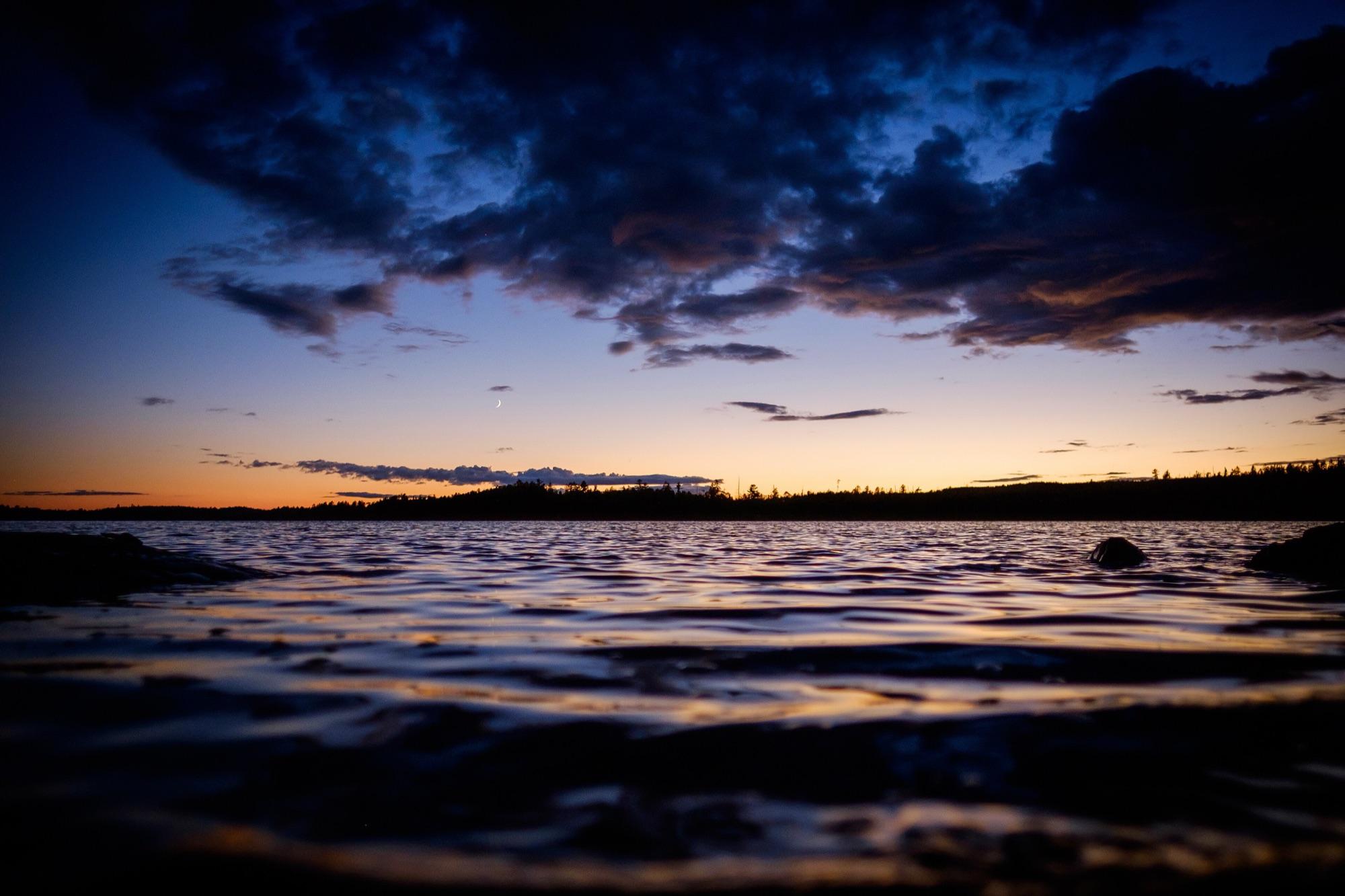
Dan Carlson
Dusk over a Boundary Waters lake, August 2016. Illustrative only.
Illustrative · Fetched
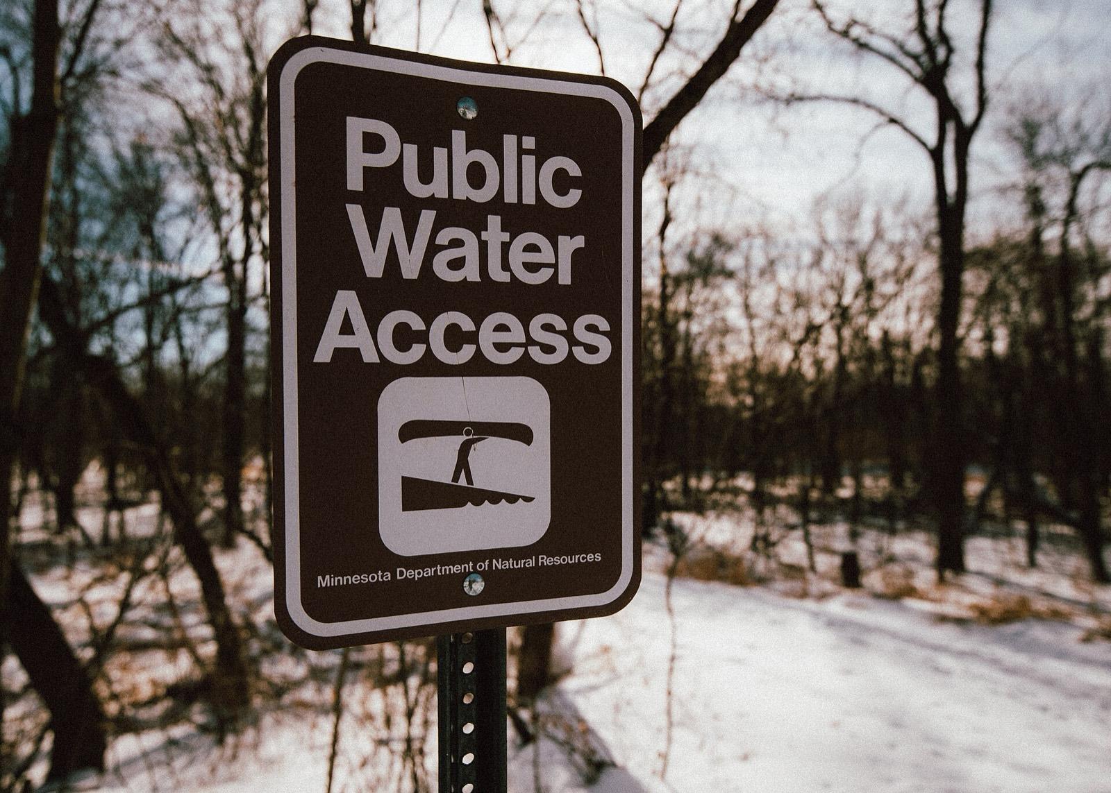
Tony Webster
A Minnesota DNR "Public Water Access" sign at the Cannon River Wilderness Area, Rice County, January 2018. Illustrative: it shows the sign style, not a launch this guide covers.
Illustrative · Fetched
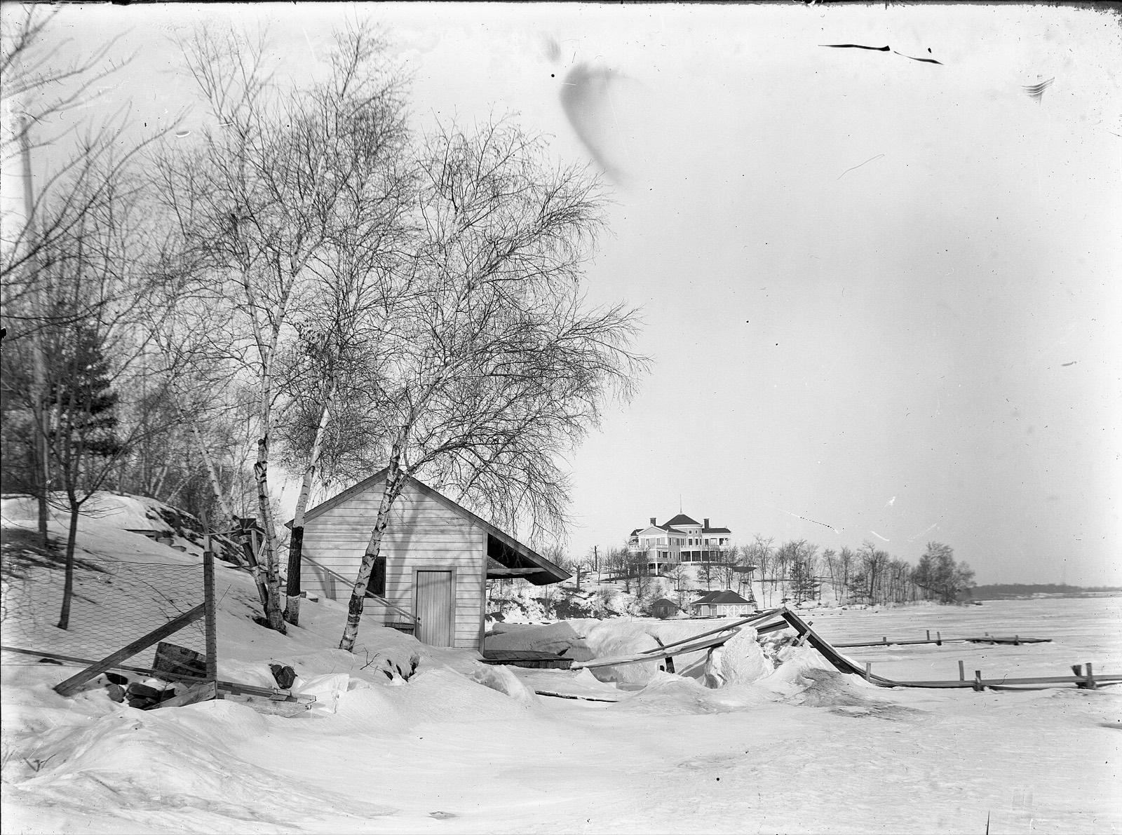
Edward A. Bromley; Hennepin County Library via the Digital Public Library of America
Ice on Deephaven Bay of Lake Minnetonka, undated, by Edward A. Bromley. The ice-out study includes Minnetonka lakes; this photo does not date any ice-out.
Shows the named place · Fetched
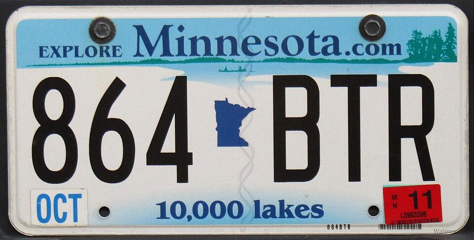
Walser123
A Minnesota passenger plate (2011 design). Illustrative: plate fees are one line of the study.
Illustrative · Fetched
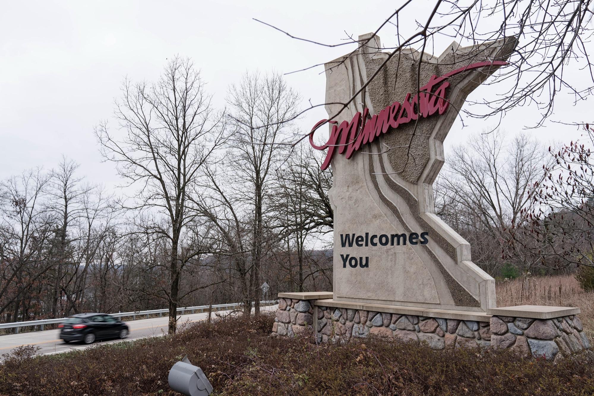
Lorie Shaull
A Minnesota welcome sign beside a highway in late fall. Illustrative: not a place connected to this guide.
Illustrative · Fetched
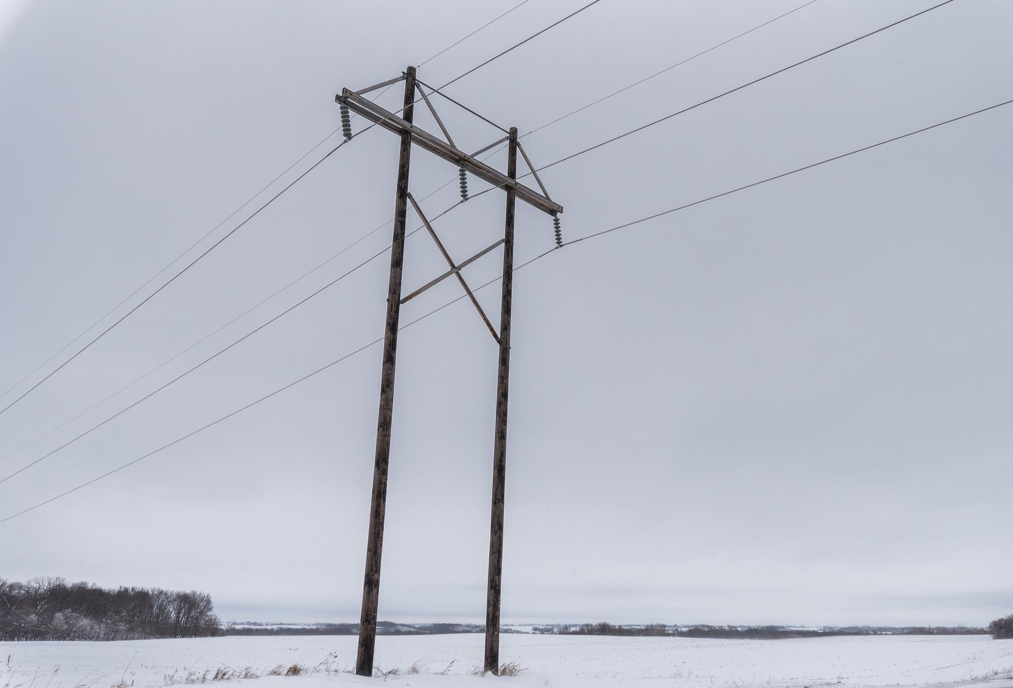
Tony Webster
Electric power lines over a snow-covered farm field in rural Minnesota. Illustrative: not a utility or customer connected to this guide.
Illustrative · Fetched
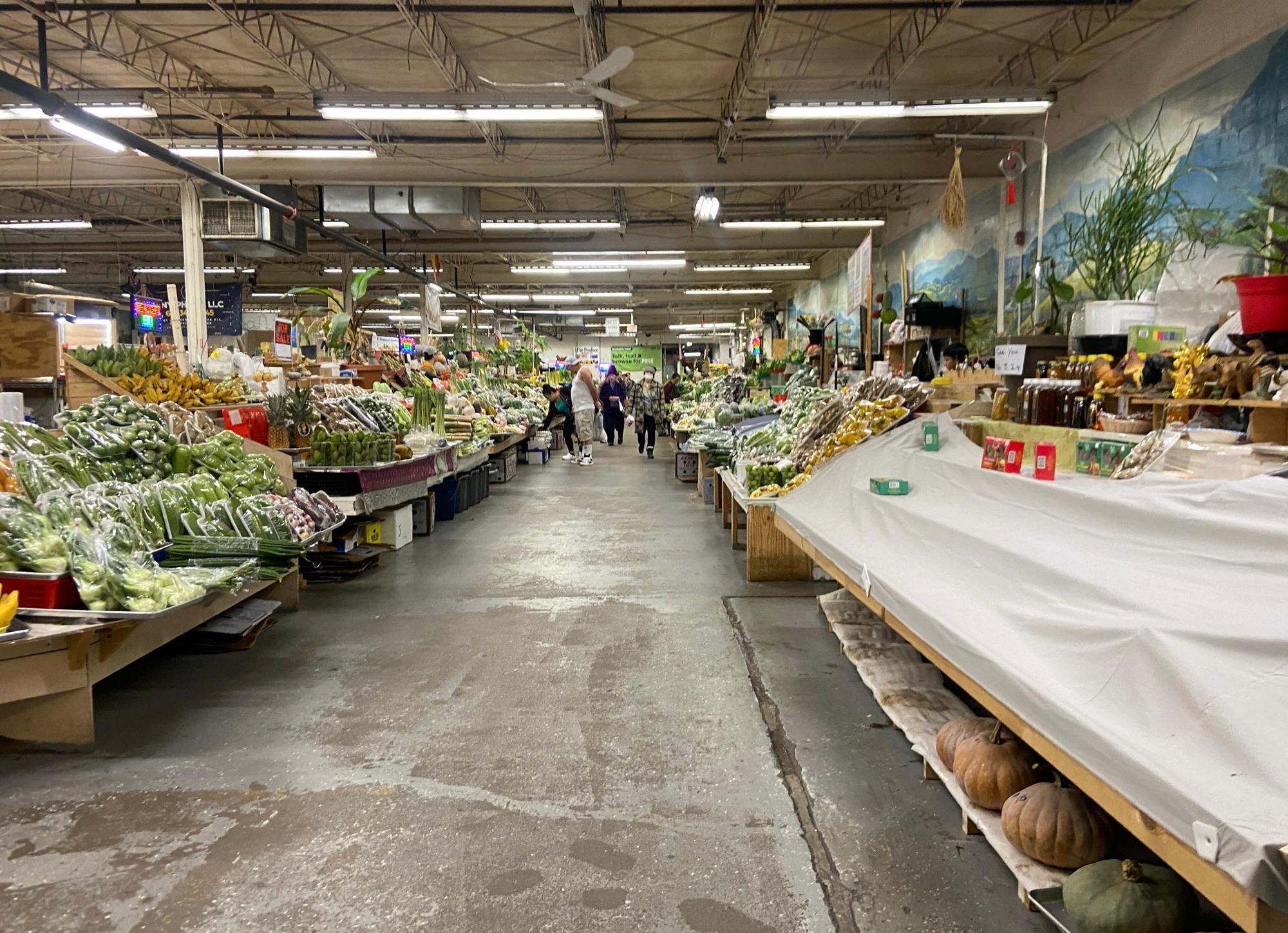
Myotus
Produce stalls inside the Hmong Village Shopping Center in Saint Paul, February 2024. Illustrative: no vendor here has been interviewed for this site.
Illustrative · Fetched
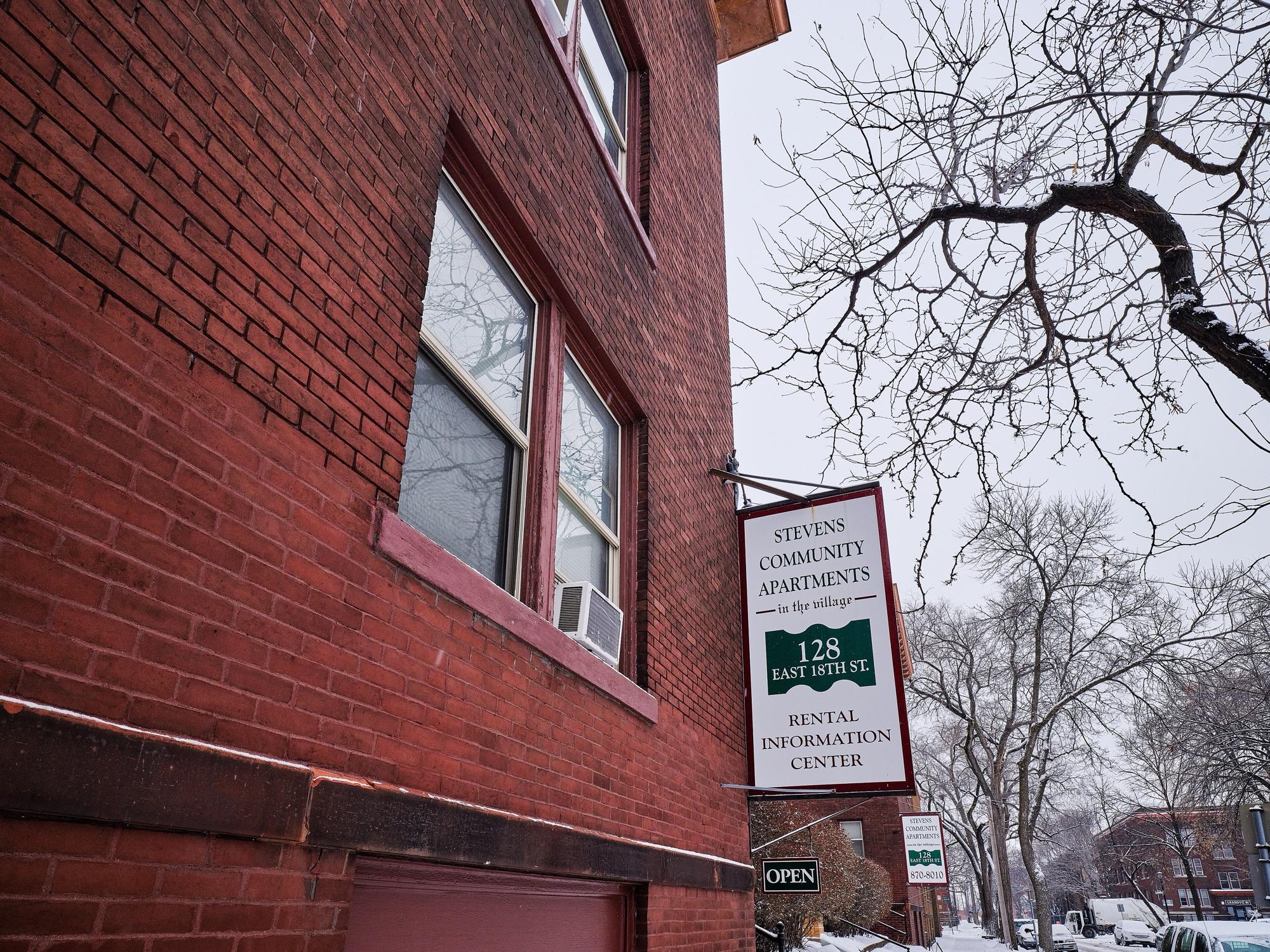
Tony Webster
A rental information center sign on an apartment building in the Stevens Square neighborhood of Minneapolis. Illustrative: not the landlord or building discussed in this guide.
Illustrative · Fetched
Maps and charts
The maps and charts in our research pages are original work. County outlines come from the U.S. Census Bureau cartographic boundary file (cb_2023_us_county_5m), a public-domain U.S. government work. Ice-out figures are computed from Minnesota DNR volunteer reports, and vehicle charges from the Minnesota Statutes and Driver and Vehicle Services pages. Each study page lists its sources and the date they were read.